
Drone Services
Aerial Video & Photography
Seen the way it should be
Show your property the way it’s meant to be seen.
Properties and completed projects are routinely under-sold by ground-level photography.
Aerial stills and video give buyers, tenants and stakeholders the full picture — the site, the setting and the scale.
‘Ground-level photos show a building. Aerial shows the whole story.’
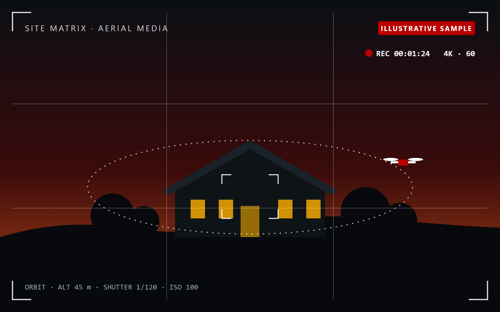
The problem: the ground-level view
Great projects, under-sold.
A single street-level angle can’t show a site’s setting, scale or access — so properties and completed projects are routinely under-sold.
Aerial media closes that gap
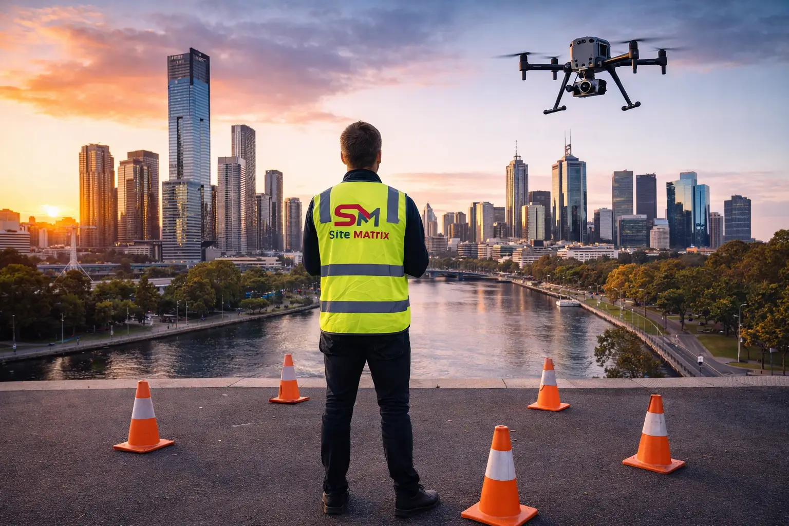
Photography and video with genuine visual impact, flown by licensed operators.
How it works
Plan. Fly. Deliver.
Plan
A shot list built
around your goal
Sale, lease, marketing or case study — we plan the angles and timing
Fly
Licensed,
CASA-compliant capture
Stills and video captured in the right light, in a single visit
Deliver
Edited,
ready-to-use media
Web and print-ready images and video for your campaign
What we deliver
Aerial media with impact
What you get
Media matched to how you’ll use it
| Deliverable | Best for |
|---|---|
| Aerial stills | Listings, brochures, websites and signage |
| Aerial video | Campaign films, social media and presentations |
| Completion media | Project close-out, case studies and awards submissions |
| Progress-to-completion series | Showing a build from first capture to handover |
Why it matters
More interest, better first impressions
Shows the full picture
Setting, scale, access and surroundings — things a ground photo can’t.
Stands out
Listings and case studies that look different from the rest.
Licensed operators
Flown under our CASA ReOC with commercial liability insurance.
Reuse the access
Pair with Construction Monitoring to capture completion shots at close-out.
Who we work with
For anyone selling, leasing or showcasing
Real estate agents
Developers & builders
Commercial property owners
Your project deserves more than a street-level photo. Book your aerial shoot.
Your questions answered
Frequently Asked Questions
Can you shoot at golden hour or twilight?
Yes — we plan timing around the look you want, within CASA operating limits.
Do you need access to my property or site?
Not necessarily — inspections work from the air or agreed setback distances. Any site entry requirements (e.g. restricted airspace, fenced sites) are coordinated in advance during scoping.
What happens if it’s too windy or rainy to fly?
We reschedule at no cost. Flights only go ahead within CASA-compliant weather and wind-speed limits, to protect both safety and data quality.
Who owns the data and imagery?
You do. All captured data, imagery and reports become your property on delivery; we retain a copy for our own records only.
Are you insured and licensed?
Yes — all flights are conducted under our CASA ReOC (9692) and a current RePL, with commercial liability insurance in place.