
Drone Services
Construction Monitoring
Measured, not reported
“On track” is an opinion until someone measures it.
Construction projects lose money to things that are hard to see in real time — schedule slippage, undocumented design deviations, disputed progress claims, and earthworks volumes nobody can verify without a survey crew.
Regular aerial capture turns all of it into a record everyone can agree on.
‘A mid-pour flag is a correction. The same deviation at handover is a rework.’
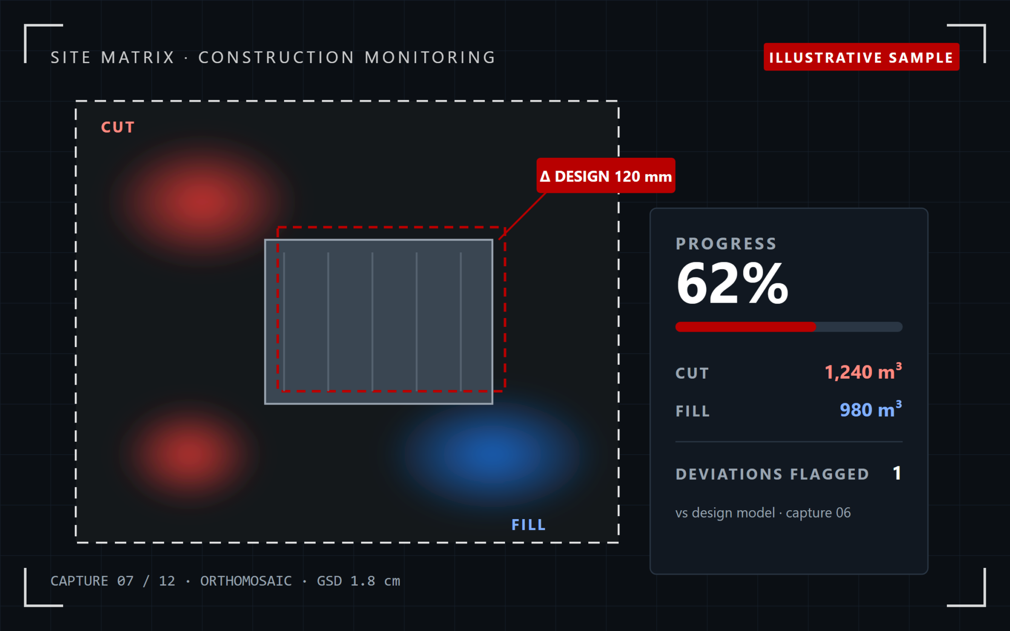
The problem: disputes waiting to happen
No independent record, no agreement.
A progress claim, a design deviation, an earthworks volume — without an objective, comparable record, every one of them is a dispute waiting to happen.
Objective data closes that gap
The same, directly comparable whole-site data at every capture — not a contractor grading their own homework.
How we solve it
Baseline. Cadence. Compare.
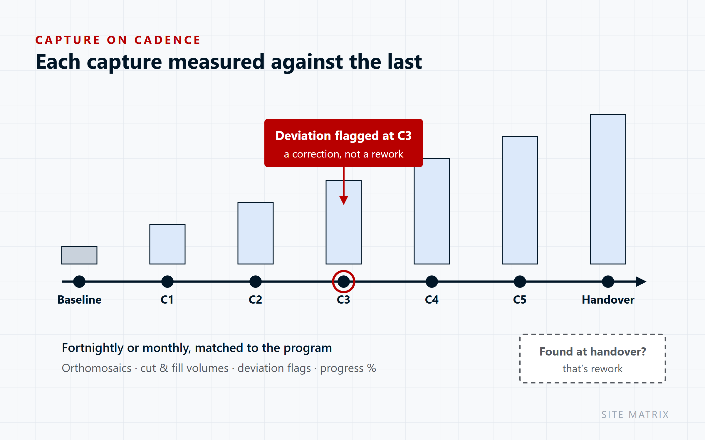
Baseline
Establish the
starting position
An initial capture and, where relevant, the design model to compare against
Capture on cadence
Repeat on a schedule
matched to your program
Fortnightly or monthly is typical
Compare & report
Each capture measured
against the last
Deviation flags, volumetric changes and a stakeholder-ready progress pack
What we deliver
From first dig to handover
What the data shows
Every deliverable answers a question
| Deliverable | What it answers |
|---|---|
| Comparative orthomosaics | What’s actually changed since the last capture — a directly comparable whole-site image, not a sampled walk-through |
| Cut & fill volumetrics | Does the earthworks claim match what was actually moved? Claim variances of 5–10% are common on unverified volumes |
| Design deviation flagging | Is the as-built matching the model — caught while correction is still cheap, not after it’s cast or fixed in place |
| Progress % estimation | Are we on the program being reported to the financier — an independent figure, not a contractor’s own estimate |
Why it matters
One record the whole project trusts
Objective, not disputed
The same data everyone on the project can look at and agree on.
Catches deviation while it’s cheap
A mid-pour flag is a correction; the same deviation at handover is a rework.
Verifies claims
Cut and fill volumetrics that hold progress payments to what was actually moved.
A timeline, not a snapshot
Repeated capture shows trajectory, not just a point in time.
Typical outcomes
Construction progress & cut/fill monitoring
Who we work with
Built for everyone with skin in the project
Developers & financiers
Project & construction managers
Earthworks & civil contractors
Set your baseline before the first pour — every capture after that is measured against it.
Your questions answered
Frequently Asked Questions
How often should you fly my site?
Fortnightly or monthly is typical — we match the cadence to your program and reporting cycle, and can add captures around key milestones.
Can you compare against our design model?
Yes. Where a design model is available, each capture is compared against it to flag deviations early.
Do you need access to my property or site?
Not necessarily — inspections work from the air or agreed setback distances. Any site entry requirements (e.g. restricted airspace, fenced sites) are coordinated in advance during scoping.
What happens if it’s too windy or rainy to fly?
We reschedule at no cost. Flights only go ahead within CASA-compliant weather and wind-speed limits, to protect both safety and data quality.
Who owns the data and imagery?
You do. All captured data, imagery and reports become your property on delivery; we retain a copy for our own records only.
Are you insured and licensed?
Yes — all flights are conducted under our CASA ReOC (9692) and a current RePL, with commercial liability insurance in place.