A construction site changes every day.
Steel is erected. Concrete is poured. Services are installed. Ground conditions shift. Temporary works appear and disappear. Access routes move as the project advances.
A one-off site visit records only one point in that sequence.
It may provide useful photographs and observations, but it cannot show what changed before the visit, what changed afterwards, or whether the reported progress aligns with the physical work completed.
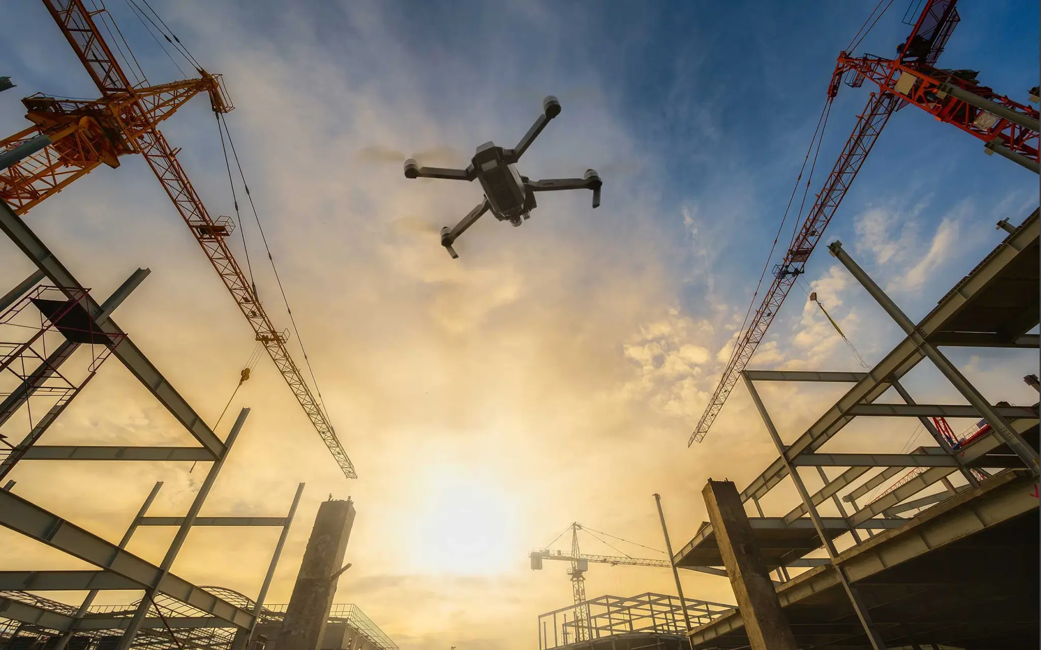
That is why construction progress monitoring drone programs are built around repeat capture. Consistent aerial data creates a time-stamped record of change, not just a snapshot of the site.
The distinction matters for sequencing, safety, progress claims, project communication and dispute resolution.
A Site Visit Is a Snapshot. Repeat Capture Shows the Sequence.
A conventional site visit answers a limited question:
What was visible on the day of inspection?
Repeat aerial capture answers a broader one:
What changed, where did it change, and when did the change occur?
The difference is evidence.
A structured drone monitoring program can repeat the same flight path, altitude, camera angles and capture areas at agreed intervals. Depending on the project, flights may occur weekly, fortnightly or at defined construction milestones.
Each capture can be linked to:
- The date and time of the flight
- The location and area covered
- The current construction stage
- Previous aerial datasets
- Relevant drawings, schedules or project records
This creates a visual timeline of the jobsite. Stakeholders can compare one capture against the next instead of relying on memory, isolated photographs or general progress descriptions.
The more consistent the capture method, the more meaningful the comparison.

What Repeat Drone Capture Can Verify
Drone data does not replace the project superintendent, surveyor, engineer or contract administrator. It gives those professionals a stronger record to work from.
A repeat capture program can support verification of:
Construction sequencing
Side-by-side aerial images can show whether work has progressed in the expected order.
For example, the record may show:
- Site preparation and excavation
- Foundations and footings
- Structural steel or concrete framing
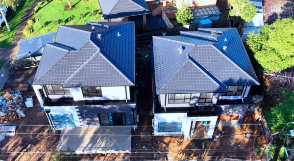
- Roof installation
- Building envelope works
- External works and landscaping
This helps project teams identify whether completed work is consistent with the planned sequence. It can also show when areas became inaccessible, when temporary works were installed, or when a previously visible condition was covered by later construction.
What cannot be reconstructed later should be captured while it is visible.
Work in place
Aerial imagery can provide a broad view of completed work across large or complex sites. Depending on the scope and required accuracy, processed data may support measurement of areas, distances, stockpiles, excavation volumes, grading and other site features.
Orthomosaics provide a corrected aerial map that can be reviewed spatially. Three-dimensional models and point clouds can add depth and context. These outputs are useful when the question is not simply “what does the site look like?” but “how much has changed, and where?”
The appropriate deliverable depends on the project requirements. Not every capture needs to become a survey-grade model. The method should be matched to the decision the data needs to support.
Site condition trends
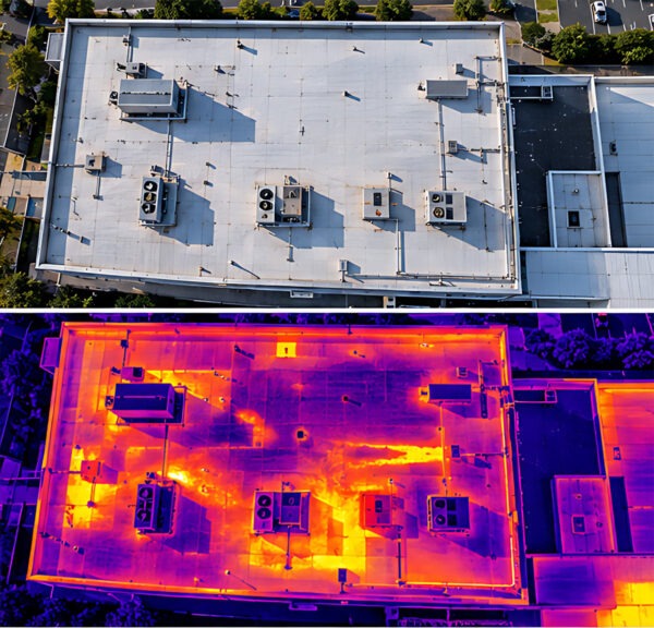
A single inspection may identify poor housekeeping, changing access conditions, exposed materials, standing water or temporary hazards.
Repeat monitoring shows whether those conditions are isolated or recurring.
Over time, the record can help teams observe:
- Changes to haul roads and site access
- Water accumulation or drainage patterns
- Stockpile movement
- Temporary works and exclusion zones
- Material storage and laydown areas
- Changes around neighbouring properties
- General site organisation and condition
This does not make aerial imagery a substitute for a formal safety inspection. It provides additional visibility across areas that may be difficult to review from ground level, especially on large, congested or rapidly changing projects.
Progress Claims Need More Than a Photograph
Progress claims and payment applications often depend on what work has been completed, where it has been completed and whether it aligns with the agreed scope.
A single photograph may illustrate a condition. It rarely proves the full context.
Repeat drone data can help connect the record across time. A project team may compare:
- The previous capture
- The latest capture
- The construction program
- Approved drawings
- Claimed work in place
- Relevant site instructions or variations
The benefit is not that the drone independently determines payment entitlement. Contractual assessment remains a matter for the relevant parties and professionals.
The benefit is that the physical record becomes easier to inspect and verify.
A dated aerial image can show the state of a work area at a particular point in time. A georeferenced map can show where that area sits within the wider project. A 3D dataset may support measurements where those measurements are appropriate and properly controlled.
Together, these records reduce ambiguity.
A Defensible Record for Dispute Resolution
Construction disputes often involve different accounts of what happened and when.
A retaining wall may have been complete before a delay. A work area may have been inaccessible after a particular event. Materials may have been stored on site before damage occurred. A temporary access route may have changed the condition of the ground.
If the only record is a collection of undated photographs, the sequence can be difficult to establish.
A repeat construction progress monitoring drone program creates an auditable history of the site. It does not eliminate the need for contracts, site diaries, survey records or expert opinion. It adds another layer of evidence that can be reviewed against those documents.
For a record to be useful, it should be:
- Consistent in capture method
- Clearly dated and located
- Stored with an organised naming system
- Linked to the relevant project area or stage
- Reviewed in context rather than treated as isolated imagery
The record is strongest when it is created before a dispute arises. Retrospective evidence is often incomplete because the relevant condition has already been covered, removed or altered.
From Aerial Mapping to Digital Twins
Repeat capture can produce more than a folder of photographs.
With the right flight planning, processing and data management, aerial imagery can support aerial mapping for construction sites and built assets. This may include orthomosaics, digital surface models, point clouds, three-dimensional meshes and volumetric outputs.
That information can also contribute to digital twins for construction assets.
A digital twin is a digital representation of a physical asset or environment. In construction, it may combine design information, spatial data, inspection records and progress history. Drone capture can update the visual and geometric record as the physical project develops.

This supports practical activities such as:
- Comparing built conditions with design intent
- Recording concealed or time-limited construction stages
- Planning access and logistics
- Coordinating trades and consultants
- Supporting handover documentation
- Establishing a baseline for future asset management
The value grows when the data remains structured and retrievable. A model that cannot be dated, located or connected to project records is less useful than a smaller dataset that can be understood and verified.
The Quality of the Method Determines the Quality of the Evidence
A drone is only one part of the monitoring system.
Reliable progress data depends on the method around it. Before capture begins, the scope should define:
- The areas to be monitored
- The capture frequency
- The required accuracy
- The intended outputs
- The reference system or survey control
- Site access and safety requirements
- Data storage and reporting arrangements
Flight planning should also account for changing site conditions, cranes, temporary structures, exclusion zones, weather and nearby operations.
At Site Matrix, construction monitoring is approached as an engineering and information problem rather than a photography exercise. CASA-compliant operations under ReOC 9692 support safe and compliant aerial data capture, while the final outputs are shaped around the decision the project team needs to make.
That may be progress verification. It may be a construction record. It may be aerial mapping, site condition monitoring or digital asset documentation.
The method should follow the question.

One Capture Shows a Condition. A Series Shows Change.
The case for repeat drone monitoring is straightforward.
A one-off site visit gives you a moment.
Repeat capture gives you:
- A sequence
- A comparison
- A record
- A clearer basis for action
It helps project teams see what has changed, verify what is visible, and preserve evidence before the next stage of construction removes the opportunity.
For commercial construction projects, the output can support progress reporting, payment review, site coordination and claims management. For owners and asset managers, it can provide a structured record that remains useful beyond practical completion.
Site Matrix combines aerial inspection, engineering interpretation and clear reporting to make changing site conditions easier to understand.
Explore the Site Matrix Method, review the capability statement, or contact the team to discuss a repeat capture program for your project.
Capture the change while it is still visible.